Teoti Huacan Tours

How to get to Teotihuacán: A comprehensive guide to visiting the pyramids near Mexico City

Where is Teotihuacán located?

Address: Zona Arqueológica de Teotihuacán, 55800 Teotihuacán de Arista, State of Mexico, Mexico | Find on Maps

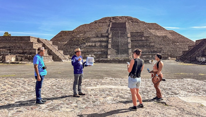
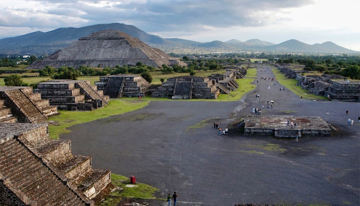
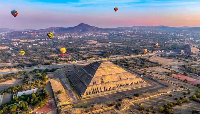
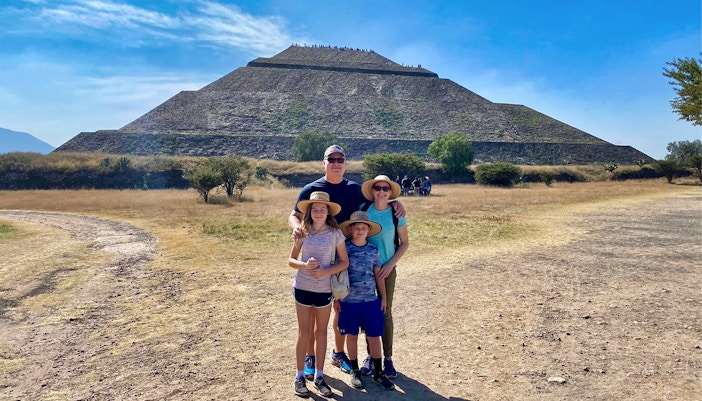
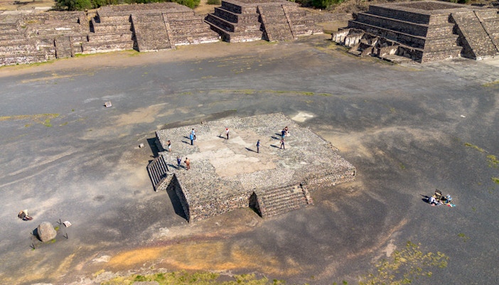
Teotihuacán is a vast archaeological site located in the Basin of Mexico, approximately 40 kilometers (31 miles) northeast of Mexico City. The ruins are situated in a valley, surrounded by mountains, giving visitors a sense of the scale and grandeur that once defined the ancient city. While not directly within the boundaries of Mexico City, its proximity makes it a popular and accessible day trip destination. Often referred to as the "pyramids near Mexico City," the site itself is managed as part of the Teotihuacán municipality in the State of Mexico.

Closest landmark: Centro Recreativo Pascual (4.2 km)

Getting to Teotihuacán by public transport

  • Best for: Budget travel
  • Travel time: Approximately 1 hour to 1.5 hours from Mexico City.
  • Closest stop: Zona Arqueológica stop.
  • Timings: Buses typically run from around 6am to 10pm

Catch a direct bus from the Autobuses del Norte (North Bus Station) in Mexico City. The bus line is called Autobuses Teotihuacán, and the bus will drop you off directly at the archaeological site's entrance.

  • Best for: Quick and cheap access to the bus station
  • Travel time: Varies, but a metro ride from the city center to the bus station is around 20-30 mins.
  • Closest stop: Estación Autobuses del Norte (Line 5).
  • Timings: Monday to Friday (5pm–12am), Saturday (6am–12am), Sunday (7am–12am).

While there is no direct metro line to Teotihuacán, you can use the Mexico City Metro to get to the North Bus Station. Take Line 5 (the yellow line) to the Estación Autobuses del Norte stop. From there, you can easily catch a bus to the archaeological zone.

Getting to Teotihuacán by car

Driving route

  • Best for: Flexibility and convenience.
  • Travel time: Approximately 45 mins to 1 hour from the Mexico City center, depending on traffic
  • Distance: Approximately 45 kilometers (28 miles).

The most direct and fastest route is to take the Avenida Insurgentes Norte out of the city and then follow signs for the Mexico-Pachuca highway (México 85D), which is a toll road. Exit the highway at the signs for Teotihuacán.

Parking facilities:

  • There is ample paid parking (MXN 45 for the day) at the Teotihuacán archaeological zone, with multiple lots located at the various gates (9am to 5pm)
  • Accessible parking spaces are available for visitors with disabilities near the main entrances.

Cycling to Teotihuacán

  • Best for: Adventure, unique perspectives, and active travelers.
  • Travel time: Approximately 30 mins to 1.5 hours (depending on route)
  • Distance: The cycling route is typically around 8 kilometers (4.9 miles) and is done in the valley surrounding the archaeological site.

While cycling directly from Mexico City is not a recommended or common option due to the distance and traffic, many tour operators offer cycling tours once you arrive at Teotihuacán. These tours are an excellent way to see the ancient city and its surrounding valley from a different perspective. They often include a bike rental and a local guide who can lead you along the lesser-known paths, providing views of the pyramids and an opportunity to visit local neighborhoods and caves outside the main archaeological zone.

Walking to Teotihuacán

  • Best for: Exploring at your own pace and in-depth discovery
  • Travel time: Approximately 2 to 3 hours to cover the main highlights
  • Distance: The main Avenue of the Dead is 4 kilometers (2.5 miles) long, and you will walk significantly more to see the entire site

Teotihuacán is a walking-only site, and exploring it on foot is the best way to appreciate its scale. Vehicles are not allowed within the main archaeological zone. The experience of walking along the Avenue of the Dead, flanked by the impressive pyramids and other temples, allows you to soak in the site's historical and spiritual atmosphere.

What is the best way to get to Teotihuacán?

The best way to travel to Teotihuacán depends on your priorities: budget, speed, or a unique experience:

For the budget-conscious traveler

Bus: The most affordable option is to take a bus from Mexico City's Autobuses del Norte (North Bus Station). The bus company "Autobuses Teotihuacán" offers frequent departures, and the journey takes about 1 hour. This is a simple and reliable method that many travelers use.

For the fastest route

Guided tour with transfers: The quickest way to get to Teotihuacán is on a guided day tour from Mexico City, which can take as little as 45 mins to 1 hour, avoiding the stops of public transport. You can also book early-access or small-group tours, including visits to the Pyramids of the Sun and Moon, or add stops like Guadalupe Shrine & Tlatelolco. However, these are significantly more expensive than the bus.

For a unique experience

Hot-air balloon tour: For a truly unforgettable experience, book a hot-air balloon flight over the archaeological site. These tours typically include early-morning transportation from Mexico City and a flight over the pyramids. This option offers a bird's-eye view of the city's scale that no other tour can match.

Frequently asked questions about where Teotihuacán is located

The Teotihuacán archaeological zone is located in the municipality of San Juan Teotihuacán, which is part of the State of Mexico, not Mexico City proper. However, its proximity makes it a very popular day trip from Mexico City.

Read more